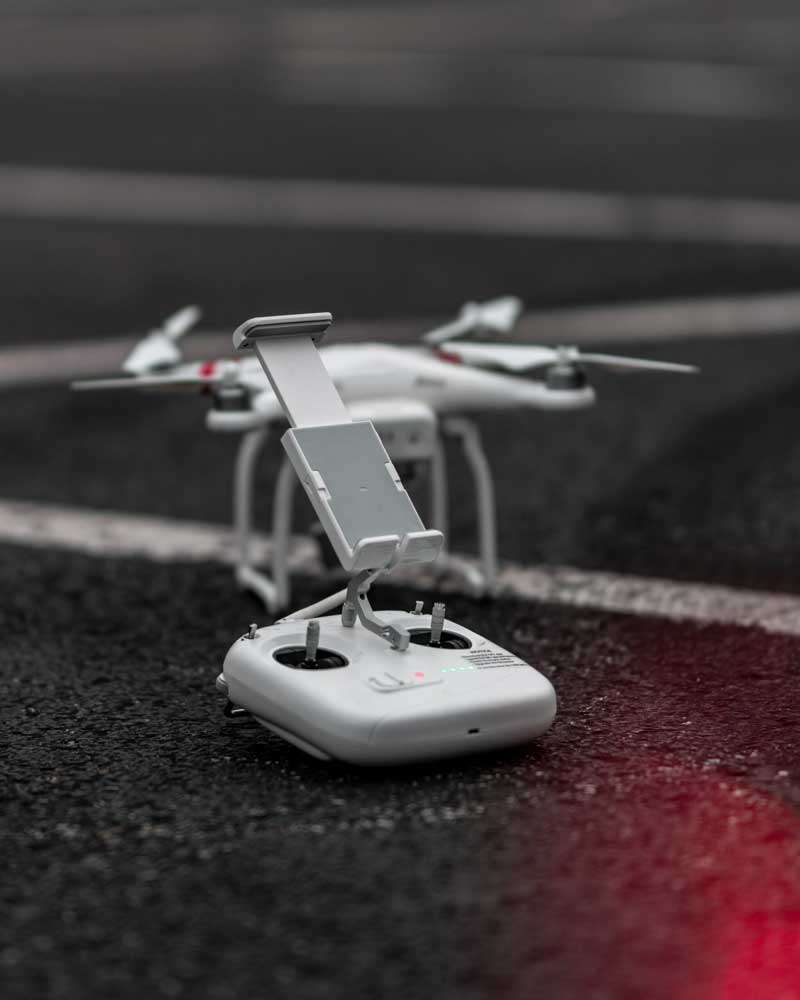
SpatialWings is a forward-thinking startup passionate about solving real-world challenges with
advanced drone technology. From mapping cities to inspecting vital infrastructure, we bring the
skies to your service. Our team is dedicated to providing personalized solutions that help
industries work smarter, safer, and more efficiently.
Working together with research places and global tech companies to improve our
products and work better.
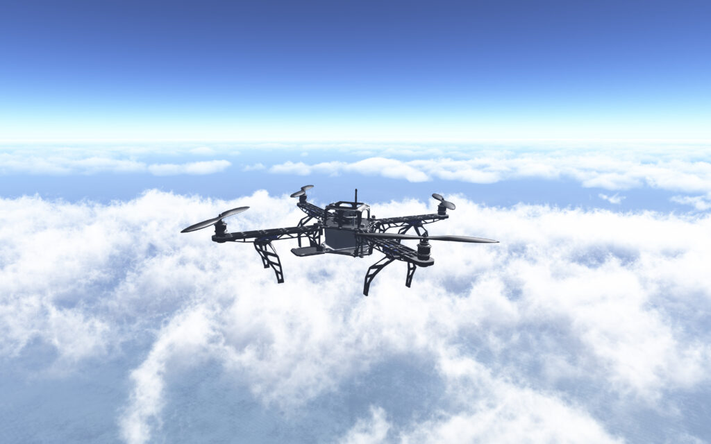
Drone Systems & Smart Design
At Spatialwings Solutions, we deliver high-performance drones with a focus on quality
engineering and reliability. Our designs prioritize secure operations and efficiency, setting new industry standards.
Continuously investing in the latest drone technology, we ensure the highest quality services for our clients.
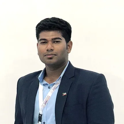
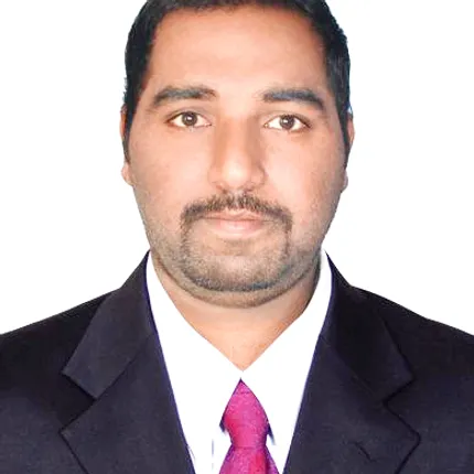
Our Team
Our team at SpatialWings LLC-FZ brings expertise in drone technology, geospatial analysis, and AI to deliver top-tier solutions. We’re dedicated to turning complex data into actionable insights that drive success across the MENA region.
Hari Rajan Sarav
CEO
Vignesh T
COO
Prag
VP - Global Operations
Sanjeev Kumar
Geotechnical Consultant
Raju Sathaiah
GIS Data Manager
Jaggu
Survey Manager
Our Commitment to Innovation
At SpatialWings, we are constantly evolving to stay at the forefront of technology. By integrating advancements in drone technology, geospatial mapping, AI, and immersive tech, we aim to provide forward-thinking solutions that help our clients achieve their goals with precision and efficiency.