Natural Resource Management: Agriculture, Forestry, & Environment
Natural Resource Management
Harness the power of drones to manage and monitor natural resources effectively. From precision agriculture to sustainable forestry practices and environmental conservation, our drone solutions provide detailed data to support smarter decision-making and healthier ecosystems.

Agriculture
Drones revolutionize agriculture by providing real-time aerial data to monitor crops, soil health, and irrigation systems. With precision farming, farmers can increase yields, reduce waste, and optimize the use of resources. Aerial surveys help in early detection of pests, diseases, and irrigation issues, ensuring better crop management and sustainability.
- Crop Health Monitoring and Yield Estimation
- Pesticide Spraying
- Soil Analysis
- Planting and Seeding
- Livestock Monitoring
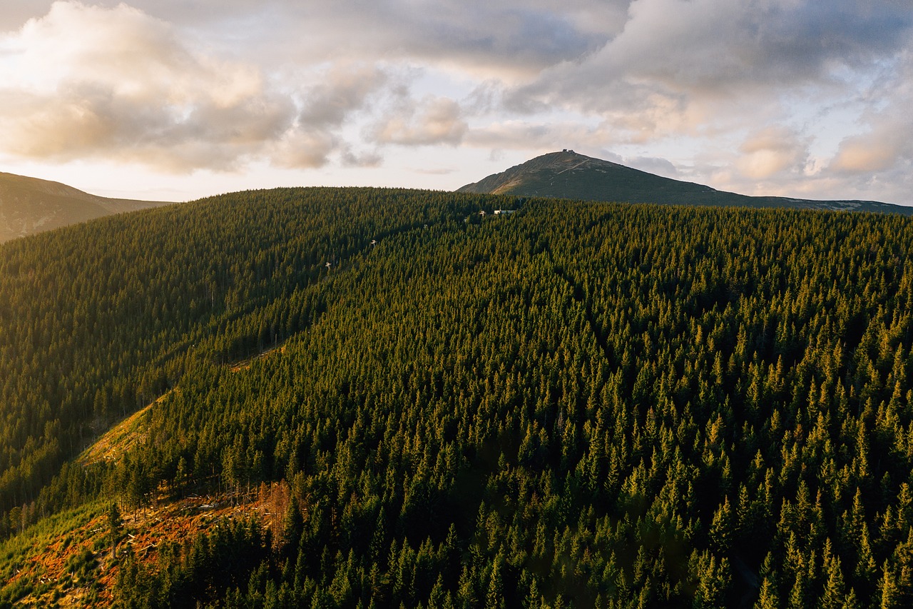
Forestry
In forestry, drones allow for efficient monitoring of forest health, mapping of vegetation, and tracking wildlife. They can quickly detect deforestation, illegal logging, and forest fires, providing crucial data for conservation efforts. Aerial surveys also help forest managers analyze forest composition and structure for more effective management and reforestation programs.
- Tree Inventory and Bio -Mass estimation
- Reforestation Planning and Monitoring
- Illegal Logging Detection
- Wild life Habitat Monitoring
- Forest Fire Management
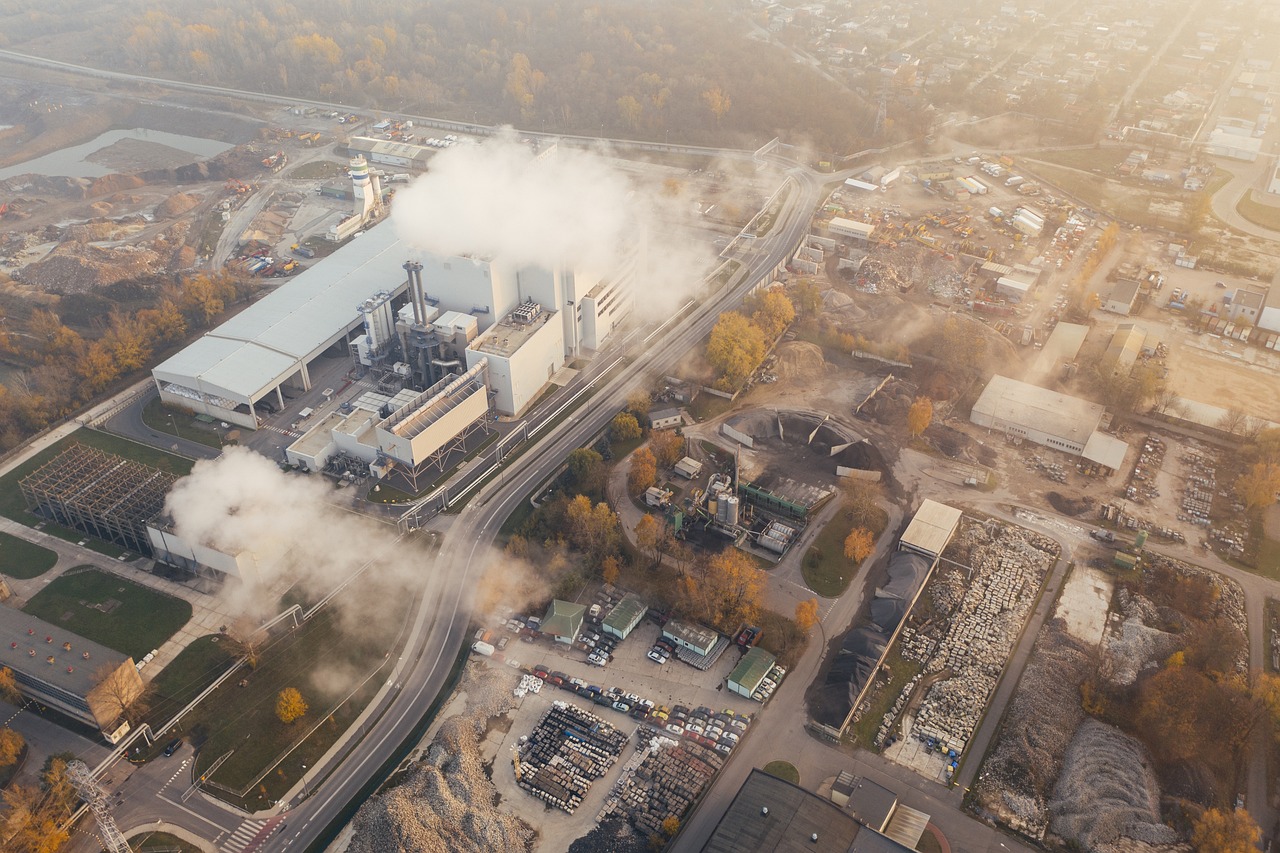
Environment
Drones play a vital role in environmental conservation by capturing high-resolution imagery to monitor ecosystems, track pollution levels, and assess wildlife habitats. They assist in environmental monitoring with minimal impact on delicate areas, offering accurate and timely data for better conservation strategies. From monitoring air and water quality to detecting environmental changes, drones provide invaluable insights.
- Environmental Impact Assessment
- Pollution Monitoring
- Coastal and Wetland Monitoring
- Disaster Response and Recovery
General Benefits of Drone Usage in Natural Resource Management
Precision Agriculture
Optimize crop monitoring, irrigation, and soil health with aerial imagery.
Sustainable Forestry
Monitor forest health, track biodiversity, and detect illegal logging activities.
Enhanced Monitoring and Inspection
Assess ecosystems, track wildlife, and monitor environmental changes with minimal disruption.
Data-Driven Insights
Capture high-resolution imagery and data to make informed, sustainable decisions.
Interested in how drones can transform your natural resource management practices? Reach out today to schedule a consultation and explore tailored solutions for your agriculture, forestry, or environmental projects.