Industries We Serve

Aerial Mapping

Harness the power of precise, high-resolution aerial mapping to visualize large areas quickly and efficiently. Our drones capture detailed imagery, creating accurate maps for analysis, planning, and reporting. Ideal for urban planning, environmental monitoring, and land management, our aerial mapping solutions offer a new perspective with ease and reliability.


Construction

Enhance productivity and safety in construction projects with drone-enabled monitoring and surveying. From capturing real-time progress images to inspecting hard-to-reach areas, drones help streamline operations, reduce risk, and maintain project timelines. Our solutions support construction managers, architects, and engineers in making informed, data-driven decisions.


Inspection

Transform inspection processes with drones that provide safe, efficient, and comprehensive assessments of critical infrastructure. Whether it’s bridges, power lines, or solar farms, our drone inspections minimize downtime and reduce the need for hazardous manual inspections. Drones capture high-resolution images and video for in-depth analysis, ensuring high standards of safety and accuracy.


Mining

Optimize operations in the mining industry with our advanced drone solutions. From 3D modeling and volumetric calculations to regular environmental monitoring, drones provide precise data to improve decision-making and increase efficiency. Our drones deliver critical insights into terrain, inventory, and safety in less time and at reduced costs.


Agriculture

Maximize crop yield and monitor fields effectively with our advanced drone solutions tailored for agriculture. Drones enable precise and timely data collection, helping farmers make informed decisions on crop health, irrigation, and soil management. Our drones provide actionable insights into various aspects of farming.

Surveying & Mapping

Our drones provide fast, accurate data collection for surveying and mapping applications. By capturing vast areas in minimal time, we help surveyors obtain the topographical and geographical information needed for boundary mapping, land assessments, and construction planning. Our drone solutions reduce the time and costs involved in traditional surveying.


Oil & Gas

In the oil and gas industry, drones are essential for monitoring and maintaining infrastructure over extensive and often challenging terrain. Our drones provide detailed imagery for pipeline inspection, site assessments, and leak detection, enhancing safety and operational efficiency. With aerial access, our drones deliver cost-effective insights into asset management and regulatory compliance.


Sticky Icon List

Our Commitment to Innovation

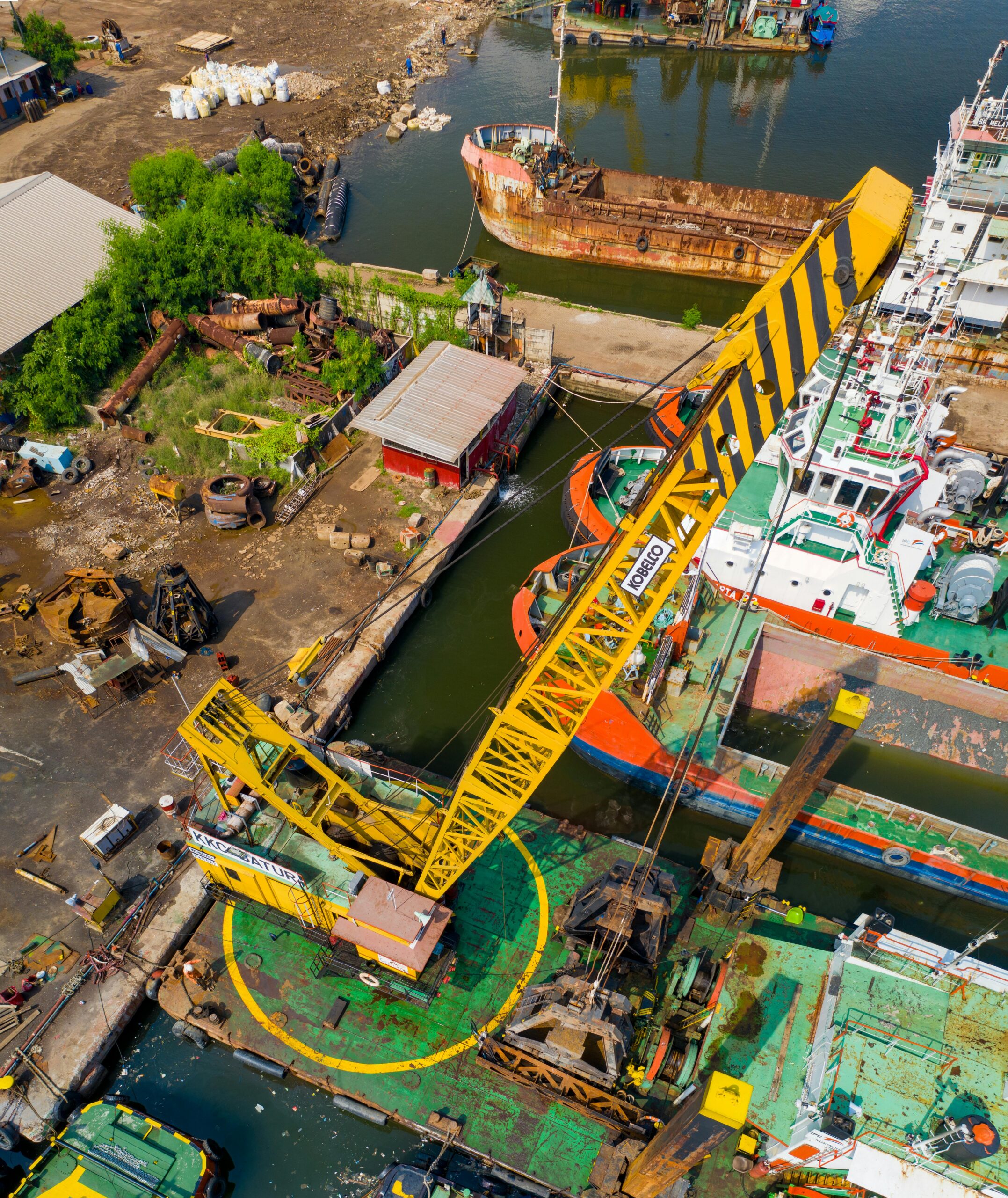
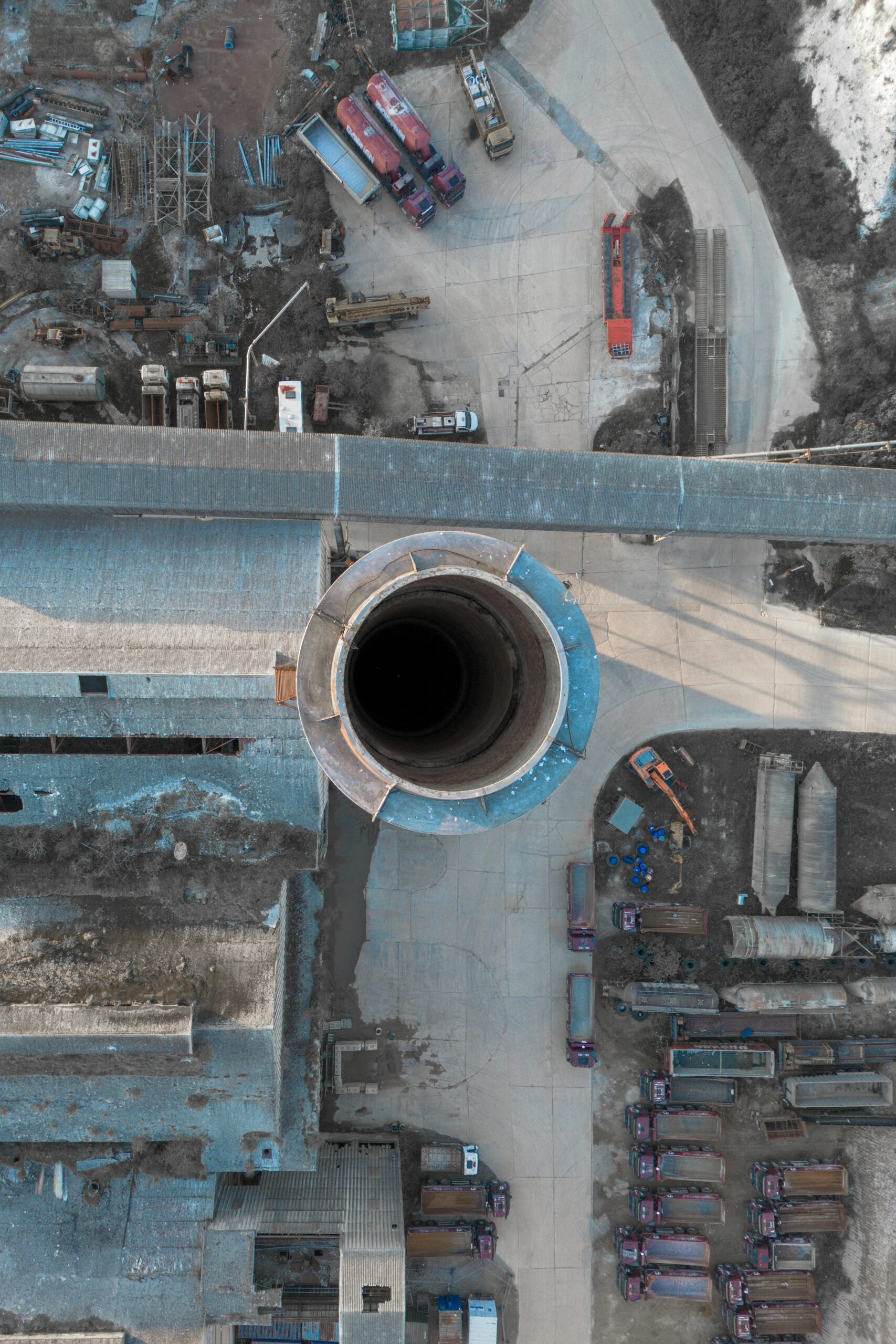
At SpatialWings, we are constantly evolving to stay at the forefront of technology. By integrating advancements in drone technology, geospatial mapping, AI, and immersive tech, we aim to provide forward-thinking solutions that help our clients achieve their goals with precision and efficiency.