Flat Preloader Icon Loding....

Welcome to Spatialwings - Your Trusted Partner in Aerial Mapping and Geospatial Solutions

Above | Beyond | Always

Projects Completed
0 +
Valued Client
1 +
Years of Experience
1 +

JUSTFLY

Accurate Aerial Technology

We are a trusted provider of drone services and geospatial solutions in the MENA region. Our services include aerial LiDAR, photogrammetry mapping, and detailed data analysis, offering accurate and dependable results for various industries. With our drone technology, we simplify processes in surveying, construction, environmental monitoring, and more, delivering services to meet your project requirements.
Professional Drone Services
Providing accurate data collection and analysis for diverse industries globally.
Geospatial Services Expertise
Turning aerial data into actionable solutions for construction, agriculture, and environmental monitoring. instead
Wedding Photography Services

Wedding Photography

Baby Shoot

Birthday Shoot

Outdoor Shoot

Traditional Photography

Candid Photography

Wedding Photography

Wedding Photography

Wedding Photography

Wedding Photography

Wedding Photography

Wedding Photography

Geospatial Intelligence Tailored for
Every Sector

Empowering industries with GeoAI-driven GIS solutions, we combine advanced analytics and artificial intelligence to transform spatial data into actionable intelligence. From construction and agriculture to environmental monitoring, our innovative approach enhances decision-making, optimizes workflows, and unlocks new opportunities for smarter, data-driven operations

Drone

Drone

Drone Technology: Revolutionizing aerial data collection.

Geospatial

Geospatial

Geospatial Solutions: Transforming data into insights.

AI & Analytics:

AI & Analytics

AI Solutions: Enhancing decision-making processes.

Immersive Tech

Immersive Tech

Immersive Solutions: Engaging experiences for users."

Drone

Drone Technology: Revolutionizing aerial data collection.

Drone

Drone Technology: Revolutionizing aerial data collection.

Geospatial

Geospatial Solutions: Transforming data into insights.

Geospatial

Geospatial Solutions: Transforming data into insights.

AI & Analytics:

AI Solutions: Enhancing decision-making processes.

AI & Analytics

AI Solutions: Enhancing decision-making processes.

Immersive Tech

Immersive Solutions: Engaging experiences for users.

mmersive Tech

Immersive Solutions: Engaging experiences for users."

What makes us Different

Drones and software powered by the latest advancements deliver unmatched results. Every project is customized to meet unique client needs, ensuring precision and reliability through a skilled team of engineers, analysts, and technicians. Trusted by leading organizations for a commitment to excellence, offering high-quality solutions at competitive rates with cutting-edge technology.

Latest Technology

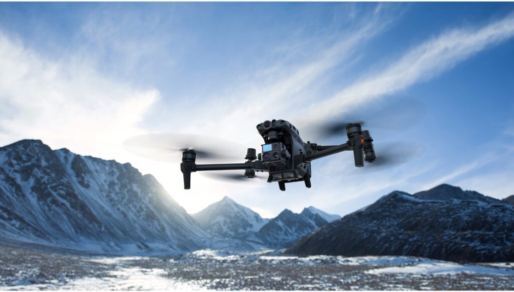
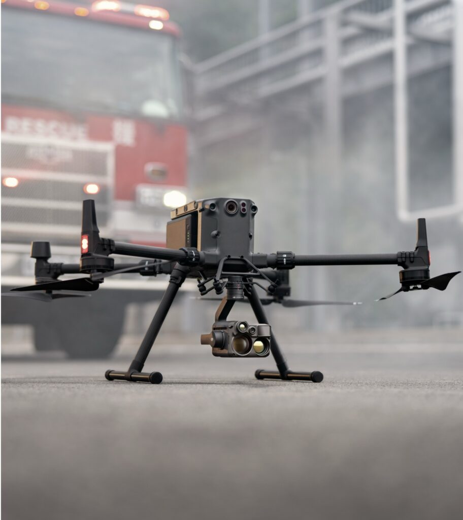
Spatialwings uses the latest drone and geospatial tools to ensure precise, high-quality data collection for every project.

Industry Expertise

With experience in construction, agriculture, and environmental monitoring, our team delivers solutions that get real time results.

Quality and Accuracy

We focus on excellence, turning aerial data into clear, reliable insights to help clients make confident decisions.

Our Expertise

End-to-end geospatial solutions powered by high-performance drones equipped with AI-driven analytics, secure communication, and advanced safety features like obstacle detection and geofencing. A cloud-based platform enables seamless remote access to real-time data, integrating effortlessly with GIS and enterprise systems for efficient monitoring, analysis, and decision-making.

Benefits

360°

Enhanced visibility of asset

Secure

Improve Security Coverage in blind area

50%

Time Reduction in first response

60%

Increase in Collaboration

Launch Your Aerial Project with Us

Transform your vision into reality with SpatialWings' expert drone technology and geospatial services.

Our Clients Feedback

Our Clients

Take Your Projects to the Next Level

We empower you to explore the skies with our advanced drone technology, ensuring every moment is beautifully documented. From breathtaking landscapes to intricate details, we capture it all.

Elevate Your Projects with Cutting-Edge Solutions

We empower you to explore the skies with our advanced drone technology, ensuring every moment is beautifully documented. From breathtaking landscapes to intricate details, we capture it all.

SpatialWings LLC utilizes advanced drone technology and geospatial solutions to provide
precise, reliable data for informed decision-making.

Support

Help Center

FAQ

Terms & Conditions

Contacts

© 2025 All rights Reserved SpatialWings

WhatsApp Chat Button